Terrain Generation Engine
A downloadable software
Video Preview & Explanation:
GitHub: Emil-Harvey/Proc_Terrain_Base: Procedural Terrain, Geography Simulation (github.com)
About
A side-project I began working on in 2021, as a way of learning about graphics shaders, directX11, earth's geography, and procedural generation. Fly around and explore an endless custom world.

Features
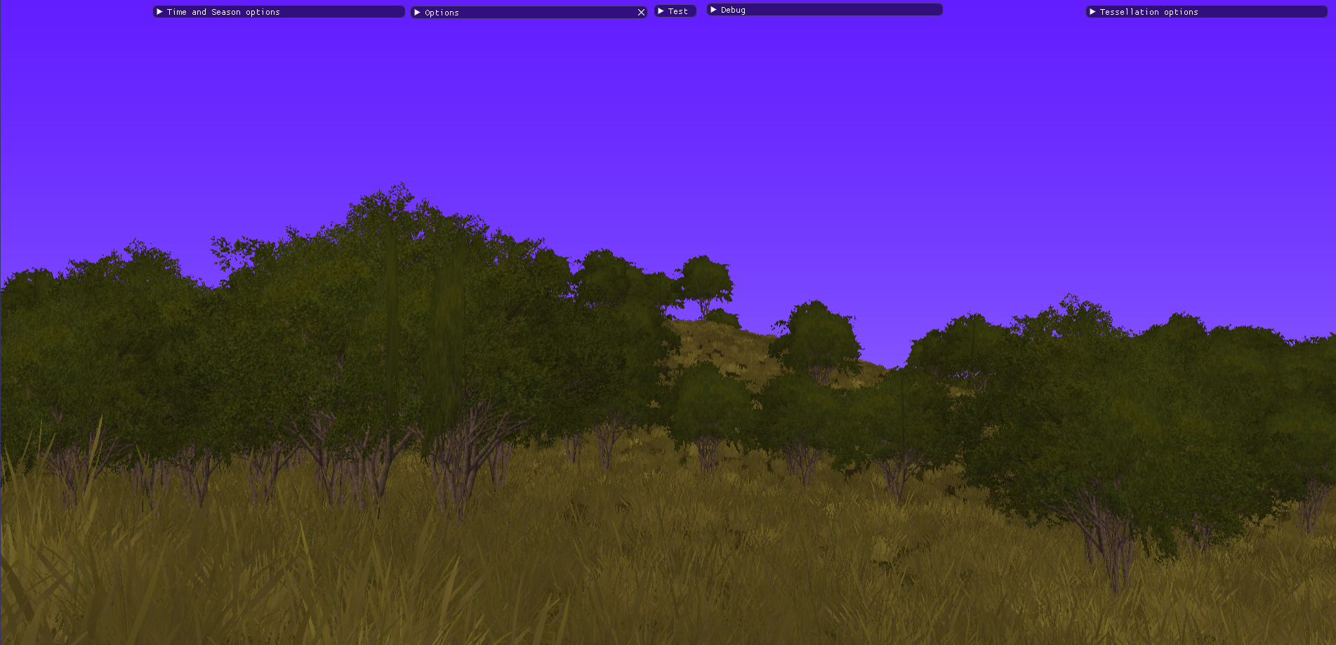
This is a list of features that have been implemented in some form or another
♦ Procedural generation of continental landscapes with tessellating quad-tree mesh
♦ Seamless & endless exploration
♦ Create and export heightmaps to TGA files
♦ Procedural sea animation and texturing; specular lighting and Fresnel shading
♦ HD PBR texturing - albedo, specular, normal maps and heightmaps
♦ Procedural texturing based on biomes and simulated geographical features:
♦   temperature
♦   humidity
♦   slope and aspect of terrain
♦   proximity to water
♦   depth below sea
♦   seasonal weather
♦   latitudinal prevailing wind direction
♦ Fallen snow adding to the displacement of the terrain mesh
♦ Tri-planar mapping for texturing steep slopes
♦ Day/night cycle based on global position, time of year and axial tilt,
♦ Fully adjustable time-scale from real-time to 1 day per second
♦ Procedural grass/foliage + wind effect
♦ Clouds, rain & weather effects
♦ 'Retro' colour shader (4-bit, 16-bit colour depth)
♦ Bayer dithering shader, white noise dithering
♦ Orthographic camera mode
Gallery


Exporting Capabilities
Thanks to the added functionality of heightmap saving and exporting, you are now able to use the landscapes you create/discover wherever you wish, from 3D software to game engines.


Leave a comment
Log in with itch.io to leave a comment.